Dana Franke · 11 October 2026
Geological Surveys Uncover Soil Composition Secrets Beneath Hollowoak Woods
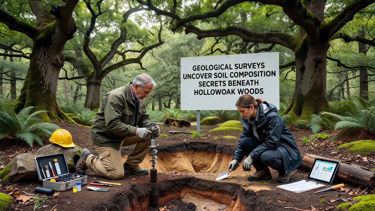
Teams from regional geological agencies completed extensive drilling and sampling operations across Hollowoak Woods throughout 2025 and into October 2026, and the results have mapped distinct soil horizons that stretch several meters below the surface. Core samples extracted at regular intervals revealed alternating bands of sandy loam, clay-rich subsoils, and pockets of organic matter that accumulated over centuries, while laboratory analysis quantified nutrient levels, pH gradients, and trace mineral concentrations that differ markedly from surrounding farmland soils.
Data collected during these campaigns shows the uppermost layer consists primarily of well-drained sandy loam mixed with leaf litter and fine root fragments, yet this layer transitions sharply at depths between 30 and 60 centimeters into denser clay deposits that retain moisture longer during dry periods. Researchers noted elevated calcium and magnesium readings in the clay zones, and they recorded lower phosphorus availability compared with typical regional forest profiles; these patterns suggest historical leaching processes shaped by the area's underlying bedrock geology.
Sampling Methods and Equipment Deployed
Survey crews used hydraulic augers mounted on tracked vehicles to reach depths up to four meters without disturbing the surrounding root systems, and they supplemented mechanical cores with hand-dug pits at selected control sites. Each sample underwent immediate field testing for moisture content and texture before transport to certified labs where spectrometers measured elemental composition and microbial biomass assays determined biological activity within different strata.
Geographic information systems integrated the point data into three-dimensional models that highlight how soil composition correlates with surface topography, while satellite imagery from earlier decades helped place current findings within longer-term landscape evolution. Observers note that the October 2026 fieldwork phase focused on verifying earlier anomalies, particularly zones where iron oxide concentrations spiked unexpectedly.
Key Findings on Nutrient Distribution and Mineral Profiles
Analysis of more than two hundred cores indicates nitrogen levels decline steadily with depth, yet potassium remains relatively stable across the upper two meters because of slow release from feldspar minerals present in the parent material. Organic carbon content reaches its peak in the top 20 centimeters and drops below detection thresholds beneath the clay interface, a pattern consistent with limited bioturbation in these particular woods.
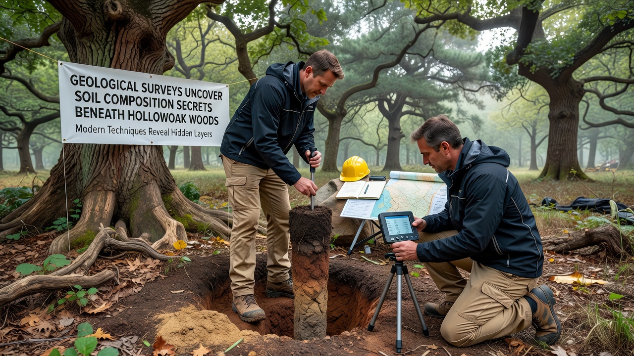
Trace element mapping turned up localized spikes in manganese and zinc near historical stream channels, and researchers attribute these concentrations to periodic flooding that deposited fine sediments before modern drainage alterations took effect. Comparisons with datasets from the United States Geological Survey national soil database confirm that Hollowoak Woods contains higher clay fractions than most comparable deciduous stands in the same climate zone.
Links to Broader Environmental Context
Soil pH measurements averaged 5.8 across the study area, creating conditions that favor certain fungal networks while limiting others, and these acidity levels align with reports from similar woodland sites documented by the European Soil Data Centre. Seasonal water table fluctuations appear to influence redox reactions that mobilize iron and aluminum, processes that in turn affect nutrient availability for the trees above.
Longer-term records show that agricultural conversion on adjacent lands during the mid-twentieth century introduced occasional fertilizer runoff, yet core profiles inside the woods display only minimal evidence of external nutrient enrichment because the clay layer acts as a natural barrier. This isolation has preserved a relatively stable chemical signature that researchers can now use as a baseline for future monitoring programs.
Implications for Land Management and Research
Forestry planners have begun incorporating the new soil maps into harvest rotation schedules, while ecologists explore whether the distinct subsoil chemistry supports specialized plant communities observed in scattered clearings. Continued monitoring through 2027 will track any shifts triggered by changing precipitation patterns, and the existing core archive will serve as reference material for academic studies on forest soil resilience.
Conclusion
The October 2026 surveys have established a detailed record of soil composition beneath Hollowoak Woods that extends far beyond surface observations, and the resulting datasets provide a foundation for understanding how geological processes interact with forest ecosystems over time. Future work will build directly on these measurements to refine predictive models for soil behavior under varying climate scenarios.